
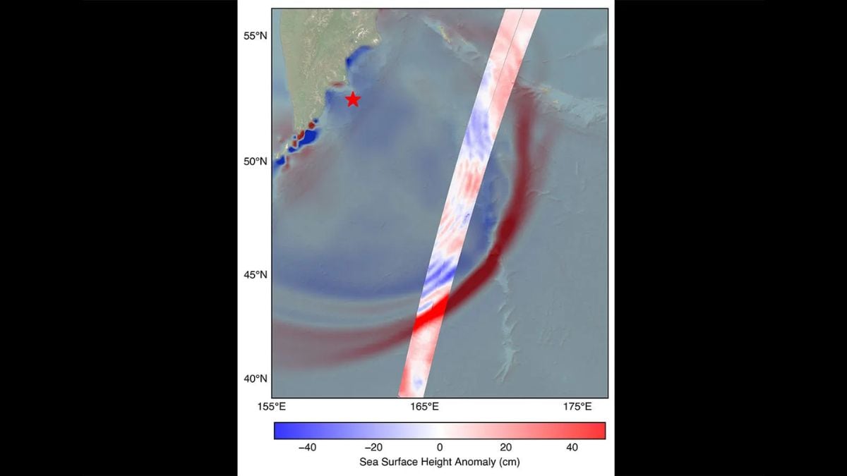
The U.S.-French SWOT (Surface Water and Ocean Topography) satellite captured the leading edge of a tsunami wave that rolled through the Pacific Ocean on July […]
Tag: Natural Disasters
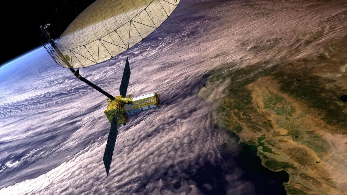
NASA and ISRO Prepare to Launch NISAR Earth-Mapping Satellite
NASA’s NISAR Earth-observing satellite (concept image shown) will carry an advanced dual-band radar system to map Earth’s land and ice in 3D. NASA will host […]
Uncategorized
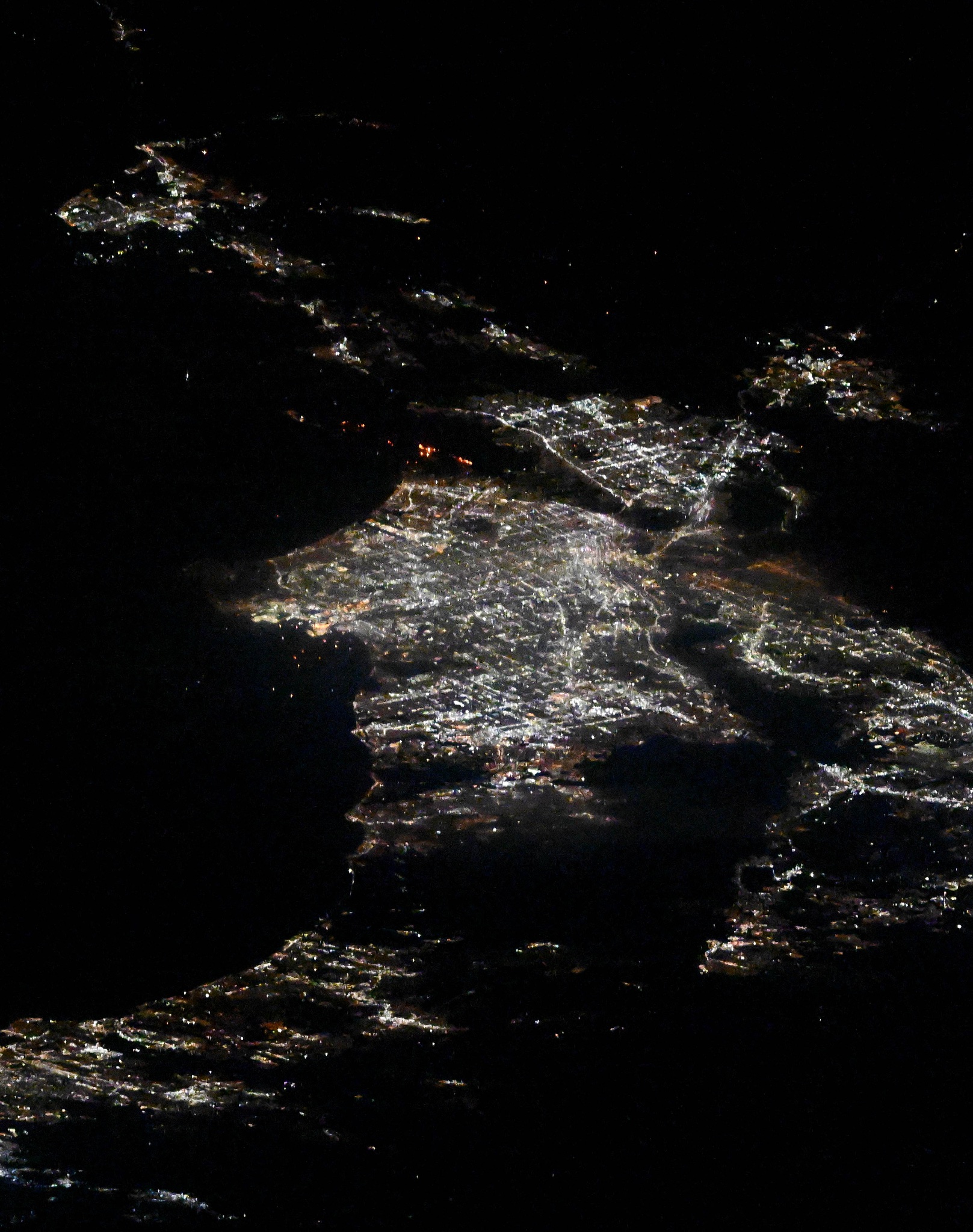
Los Angeles Fires Seen from International Space Station
On Jan. 10, 2025, NASA astronaut Don Pettit posted two images of the Los Angeles fires from the International Space Station. Multiple destructive fires broke […]
Uncategorized
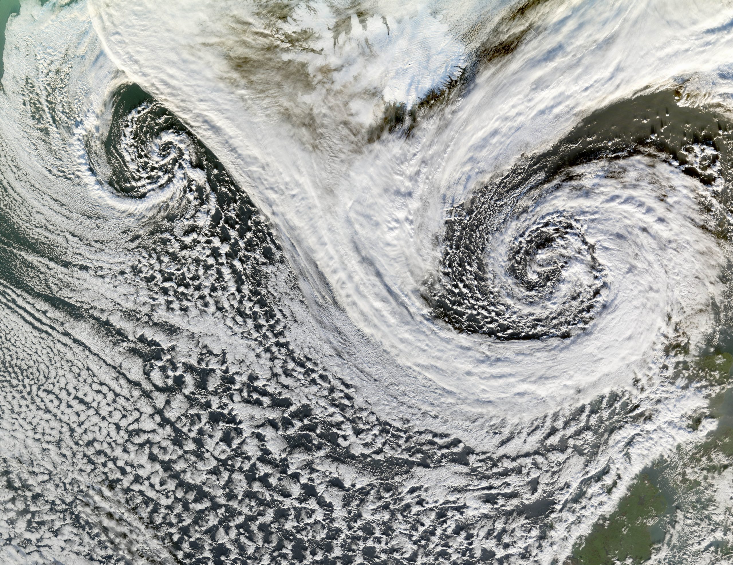
Icelandic Cyclones – NASA
The Moderate Resolution Imaging Spectroradiometer flying aboard NASA’s Terra satellite took this picture of two cyclones near Iceland on Nov. 20, 2006. Though we usually […]
